All Dives Dive

Castleward Bay

Strangford Lough

Average score: 0

Site name: Castleward Bay
Location: Descriptive location referring to nearest landfall i.e. town, village, harbour or island
Strangford Lough
Type: Describes whether this dive site can be dived from the shore, from a boat, or both
Shore/Boat
Wreck: Dive sites which include a shipwreck (or part of a shipwreck) are labelled with a ‘Yes’
No
Min. dive depth (m): The approximate minimum depth of the dive given in metres
2.5
Max. dive depth (m): The approximate maximum depth of the dive given in metres
10

Max. seabed depth (m): The maximum depth of the seabed at the site taken from the intersect between the dive site point and the depth contour on an Admiralty Standard Nautical Chart
10

Diving experience (min level): The recommended minimum level of diving experience for a specific site, described as Novice (<50 dives in temperate/cold waters and minimum certification of PADI Open/Advanced Open Water, BSAC Ocean Diver or CMAS 1 star), Intermediate (50-100 dives in temperate/cold waters and minimum certification of PADI Rescue Dive, BSAC Sports Dive or CMAS 2 star) or Advanced (>250 dives in temperate/cold waters and minimum certification of PADI Divemaster, BSAC Dive Leader or CMAS 3 star
Novice

Optimal wind direction: The general wind direction which causes minimal exposure at the site, corresponding to 8 points of the compass: North (N), North East (NE), East (E, South East (SE), South (S), South West (SW), West, North West (NW)
SW/W

Exposure: The approximate level of exposure to wind and wave action at the site on any given day, described as Sheltered (inshore sites surrounded by a form of shelter on all sides), Moderate (sites which are partially sheltered) or Exposed (sites with little to no shelter)
Sheltered

Tidal strength: Anecdotal description of tidal strength at the site
Strong

Marine Protected Area: A Yes or No highlighting whether or not the site occurs within a Marine Protected Area
Yes

Visibility: Anecdotal description of the typical underwater visibility at the site
~5-10 metres
Best time to dive: Anecdotal recommendation for the best time to dive the site for optimal underwater conditions. This typically relates to the stage of the tide
Slack
Getting There: Directions for getting to the site

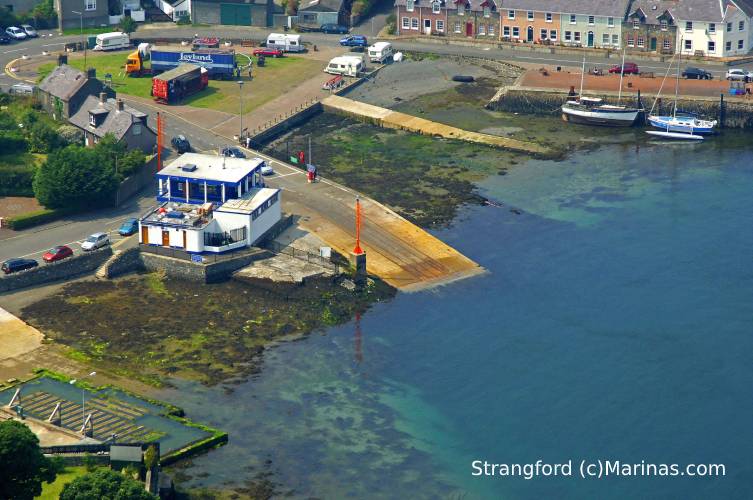
For a shore dive, follow the Park Road to the entrance to Castleward (‘Winterfell Castle and Demesne’). From here, follow the round as it bends round to the left, with the shore on the right, being wary of walkers. Park on the lay-by next to an old stone walled boathouse (signed for Canoe Trail). Enter the water here and swim out until you reach a depth of ~7 metres to find the seagrass. Alternatively contact the Strangford Yacht Club to request accessing the site from the slipway.

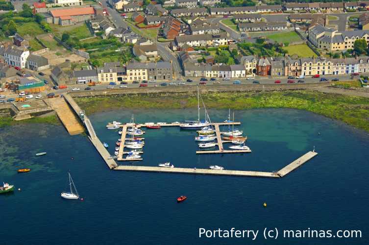
For a boat dive from Strangford/Portaferry/Killyleagh, enter the water near the moorings at the mouth of Castleward Bay.

Facilities: Details of nearest facilities to dive site i.e. public car parking and toilets, slipways etc

Car parking on the lay-by next to the old boathouse, or alternatively at Strangford Yacht Club, where toilets are also available, however access is restricted to yacht club members. Free car parking, slipways and public toilets are available in Portaferry, Strangford and Killyleagh, if diving from a boat.

Nearest tank filling: DV Diving, Mount Stewart, Newtownards

Hazards: Anecdotal information on possible hazards at the site for divers and snorkellers

  • Recreational boat traffic (this site is surrounded by boat moorings).
Description: A general description of the physical features of the dive site

Mixed sediment seabed with gravel, pebbles and mud, with many boat moorings and associated debris.

Biodiversity: A description of the species composition at the site. Species of interest are highlighted. Follow the links for more information about the species on the NBN Atlas Northern Ireland website

A patchy seagrass bed (depending on distance from moorings). Species recorded here include the brown seaweed Halopetris filicina, the colonial hydroid Hydractina echinata, sugar kelp Saccharina latissima and nudibranchs.

View all species records from this site

A link to the dive site location on the NBN Atlas Northern Ireland website, showing all species records from within a 1km boundary of the site centroid. Any new species records from the site submitted to Seasearch, iRecord, CEDaR Online Recording or iNaturalist will appear here
Local Charters: A link to the website for the nearest Dive Centre to the site. A map of all dive centres is provided under ‘Go Diving’

DV Diving

Environmental and Historical Designations: A list of any environmental or historical designations attributed to the site, or overlapping it. Follow the link for more information

Strangford Lough SAC
Strangford Lough MCZ
Strangford Lough SPA
Strangford Lough RAMSAR

More Information: Links to additional information found online for the dive site

Strangford Lough Regulation of Anchoring, Mooring and Diving Byelaws 2012

Northern Ireland Marine MapViewer

Safety: Safety tips

  • In an emergency call 999 or 112 and ask for the coastguard.
  • Follow VHF radio Channel 16 (156.8 MHz), the international distress frequency.
  • Find nearest defibrillator (AED) here
  • Portaferry Harbour Master: 028 9188 2377
  • When navigating within the harbour/marina, use VHF Channel 80.
Latitude, Longitude: The approximate XY coordinates for the dive site in Decimel Degrees (DD). These can be converted to DMS or DDM by following the link below
54.377716, -5.567878

Leave a Comment

Dived here recently? Then let other divers know about this site from your experience!

Leave a Reply

Your email address will not be published. Required fields are marked *

This site uses Akismet to reduce spam. Learn how your comment data is processed.

Join our Mailing List