All Dives Dive
Snorkelling Snorkelling

Portmuck Harbour

Islandmagee

Average score: 0

Site name: Portmuck Harbour
Location: Descriptive location referring to nearest landfall i.e. town, village, harbour or island
Islandmagee
Type: Describes whether this dive site can be dived from the shore, from a boat, or both
Shore
Wreck: Dive sites which include a shipwreck (or part of a shipwreck) are labelled with a ‘Yes’
No
Min. dive depth (m): The approximate minimum depth of the dive given in metres
Max. dive depth (m): The approximate maximum depth of the dive given in metres
8

Max. seabed depth (m): The maximum depth of the seabed at the site taken from the intersect between the dive site point and the depth contour on an Admiralty Standard Nautical Chart
9

Diving experience (min level): The recommended minimum level of diving experience for a specific site, described as Novice (<50 dives in temperate/cold waters and minimum certification of PADI Open/Advanced Open Water, BSAC Ocean Diver or CMAS 1 star), Intermediate (50-100 dives in temperate/cold waters and minimum certification of PADI Rescue Dive, BSAC Sports Dive or CMAS 2 star) or Advanced (>250 dives in temperate/cold waters and minimum certification of PADI Divemaster, BSAC Dive Leader or CMAS 3 star
Intermediate

Optimal wind direction: The general wind direction which causes minimal exposure at the site, corresponding to 8 points of the compass: North (N), North East (NE), East (E, South East (SE), South (S), South West (SW), West, North West (NW)
S/SW/W

Exposure: The approximate level of exposure to wind and wave action at the site on any given day, described as Sheltered (inshore sites surrounded by a form of shelter on all sides), Moderate (sites which are partially sheltered) or Exposed (sites with little to no shelter)
Moderate

Tidal strength: Anecdotal description of tidal strength at the site
Strong

Marine Protected Area: A Yes or No highlighting whether or not the site occurs within a Marine Protected Area
Yes

Visibility: Anecdotal description of the typical underwater visibility at the site
Visibility ranges from good to poor, depending on the tidal state (it can be particularly poor on strong spring tides).
Best time to dive: Anecdotal recommendation for the best time to dive the site for optimal underwater conditions. This typically relates to the stage of the tide
Belfast slack or flood tide (approx. 5 minutes earlier than Belfast)
Getting There: Directions for getting to the site

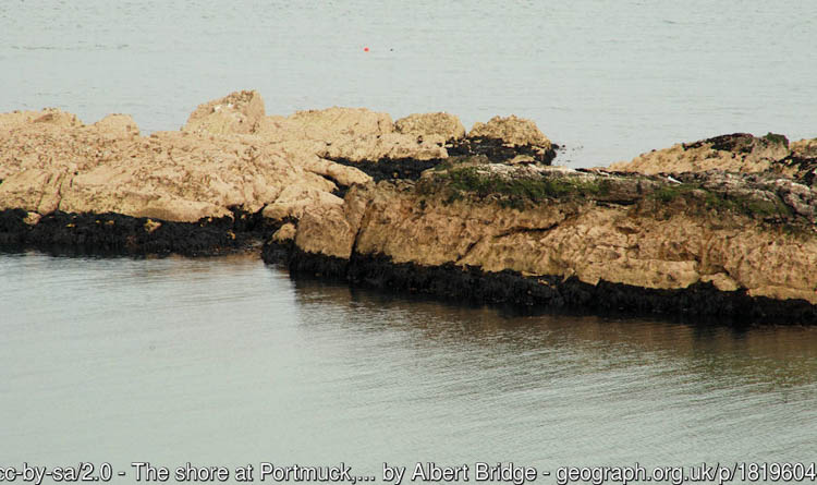
Car parking is available at 68 Portmuck Road. From here, it is a short walk to the harbour wall, from where you can entre the water directly from the harbour wall (watching out for boat traffic) or climb over the rocks behind the harbour to dive in the small enclosed cove on the north east side.

Facilities: Details of nearest facilities to dive site i.e. public car parking and toilets, slipways etc

Portmuck Harbour provides a slipway and public toilets. The pier is 25 metres long, 6.5 metres wide and in good condition.

Hazards: Anecdotal information on possible hazards at the site for divers and snorkellers

  • Strong northerly tidal currents
  • Discarded fishing tackle (this is a popular site for anglers)
  • Recreational boat traffic.
  • It is worth speaking to the harbour master prior to your dive.
Description: A general description of the physical features of the dive site

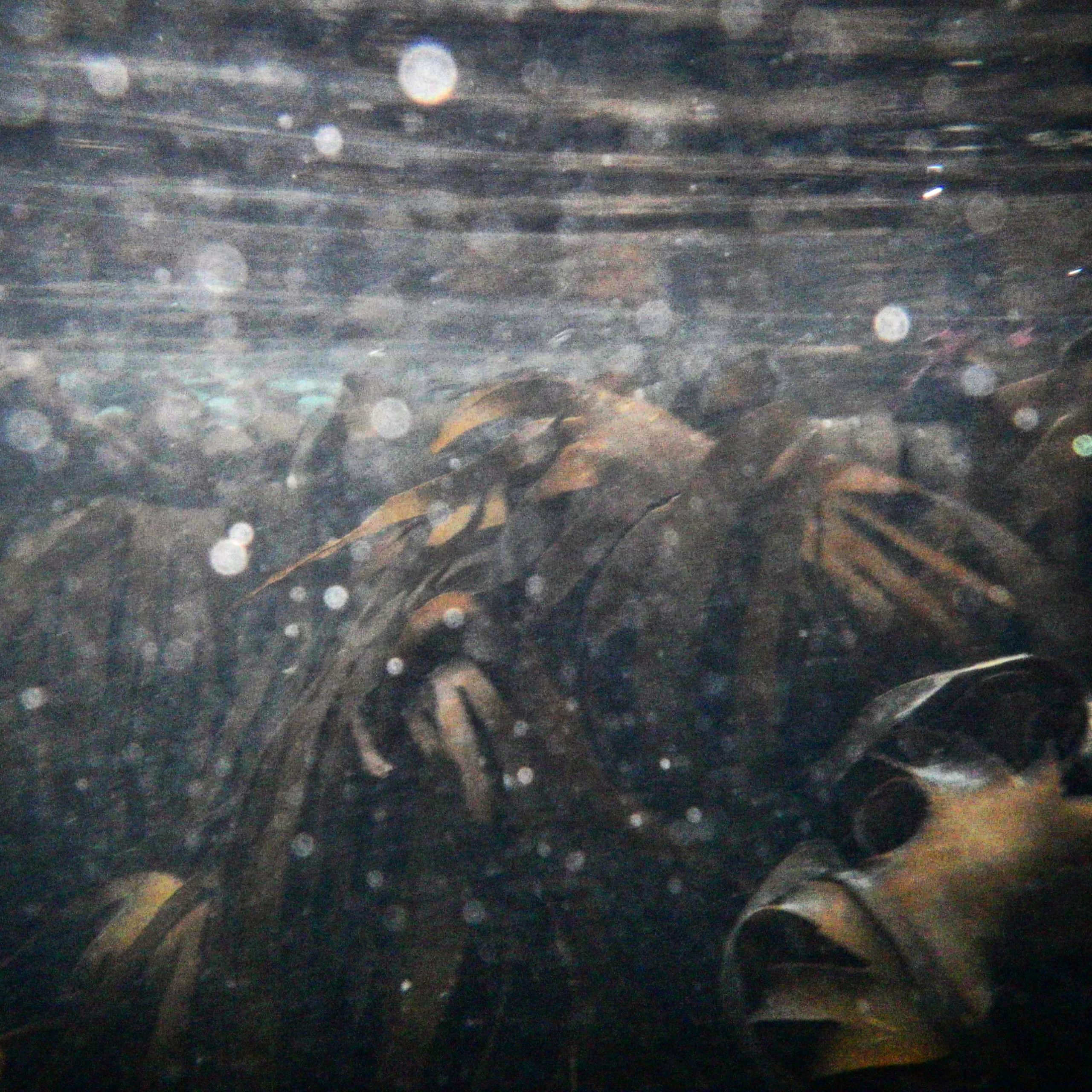
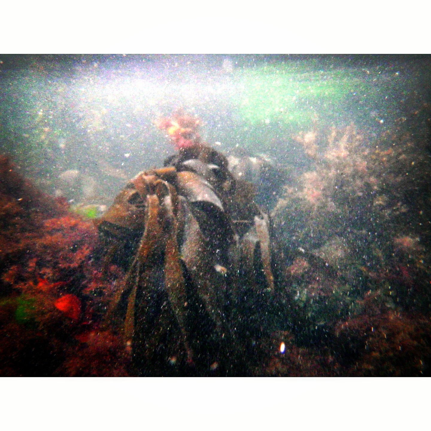
This site can be dived either side of the harbour wall. Bedrock extends out from the harbour wall and follows the coastline to the north east, forming a steep vertical wall, beneath which the seabed is comprised of fine sand. The area inside the harbour wall is a sheltered sandy bay, with a steep bedrock wall on the seaward side. This wall is covered in dense and diverse seaweeds and is a suitable site for training dives.

Biodiversity: A description of the species composition at the site. Species of interest are highlighted. Follow the links for more information about the species on the NBN Atlas Northern Ireland website

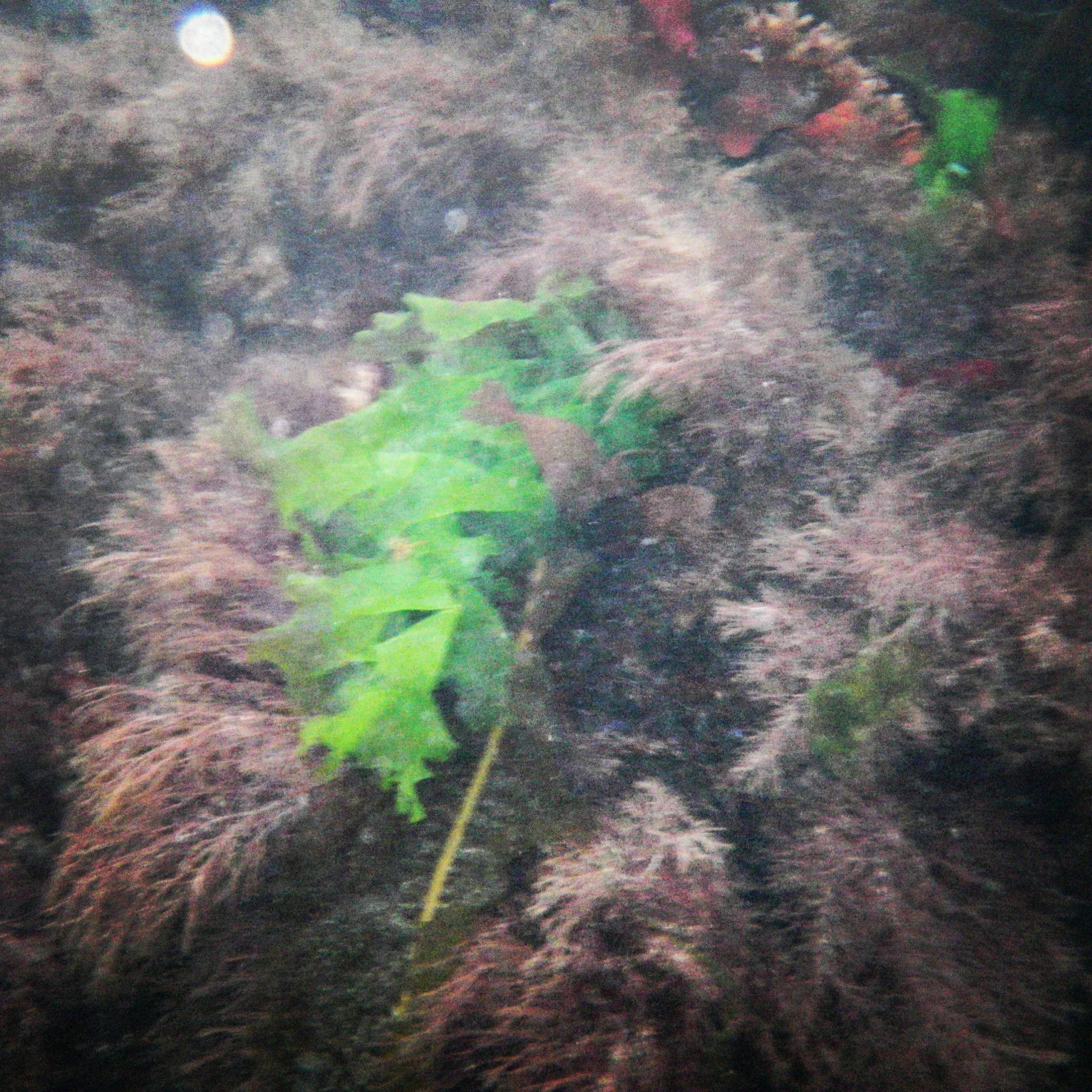
A diverse community of crustaceans, sea squirts and soft corals are found amongst a variety of alga species, including kelp, attached to the bedrock wall (at both sites either side of the harbour wall).

View all species records from this site

A link to the dive site location on the NBN Atlas Northern Ireland website, showing all species records from within a 1km boundary of the site centroid. Any new species records from the site submitted to Seasearch, iRecord, CEDaR Online Recording or iNaturalist will appear here
Local Charters: A link to the website for the nearest Dive Centre to the site. A map of all dive centres is provided under ‘Go Diving’

North Irish Diver

DV Diving

Environmental and Historical Designations: A list of any environmental or historical designations attributed to the site, or overlapping it. Follow the link for more information

North Channel SAC
Portmuck ASSI

More Information: Links to additional information found online for the dive site

eOceanic – Portmuck Harbour

Northern Ireland Marine MapViewer

Safety: Safety tips

  • In an emergency call 999 or 112 and ask for the coastguard.
  • Follow VHF radio Channel 16 (156.8 MHz), the international distress frequency.
  • Find nearest defibrillator (AED) here
  • Harbour Master: 028 9338 2549
Latitude, Longitude: The approximate XY coordinates for the dive site in Decimel Degrees (DD). These can be converted to DMS or DDM by following the link below
54.848136, -5.726998

Leave a Comment

Dived here recently? Then let other divers know about this site from your experience!

Leave a Reply

Your email address will not be published. Required fields are marked *

This site uses Akismet to reduce spam. Learn how your comment data is processed.

Join our Mailing List