

Site name: Sandy Bay, Orlock Point
Location: Descriptive location referring to nearest landfall i.e. town, village, harbour or island
GroomsportType: Describes whether this dive site can be dived from the shore, from a boat, or both
ShoreWreck: Dive sites which include a shipwreck (or part of a shipwreck) are labelled with a ‘Yes’
NoMin. dive depth (m): The approximate minimum depth of the dive given in metres
2Max. dive depth (m): The approximate maximum depth of the dive given in metres
7.5Max. seabed depth (m): The maximum depth of the seabed at the site taken from the intersect between the dive site point and the depth contour on an Admiralty Standard Nautical Chart
8Diving experience (min level): The recommended minimum level of diving experience for a specific site, described as Novice (<50 dives in temperate/cold waters and minimum certification of PADI Open/Advanced Open Water, BSAC Ocean Diver or CMAS 1 star), Intermediate (50-100 dives in temperate/cold waters and minimum certification of PADI Rescue Dive, BSAC Sports Dive or CMAS 2 star) or Advanced (>250 dives in temperate/cold waters and minimum certification of PADI Divemaster, BSAC Dive Leader or CMAS 3 star
IntermediateOptimal wind direction: The general wind direction which causes minimal exposure at the site, corresponding to 8 points of the compass: North (N), North East (NE), East (E, South East (SE), South (S), South West (SW), West, North West (NW)
S/SW/W/NWExposure: The approximate level of exposure to wind and wave action at the site on any given day, described as Sheltered (inshore sites surrounded by a form of shelter on all sides), Moderate (sites which are partially sheltered) or Exposed (sites with little to no shelter)
ModerateTidal strength: Anecdotal description of tidal strength at the site
Marine Protected Area: A Yes or No highlighting whether or not the site occurs within a Marine Protected Area
YesVisibility: Anecdotal description of the typical underwater visibility at the site
~6 metresBest time to dive: Anecdotal recommendation for the best time to dive the site for optimal underwater conditions. This typically relates to the stage of the tide
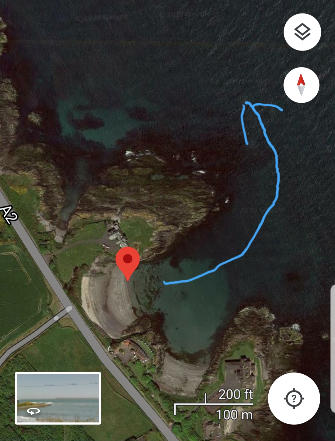
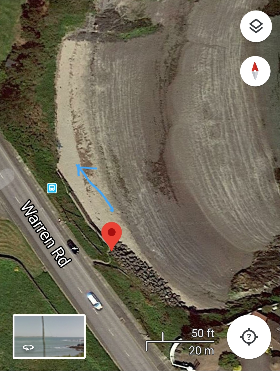
HW DonaghadeeGetting There: Directions for getting to the site
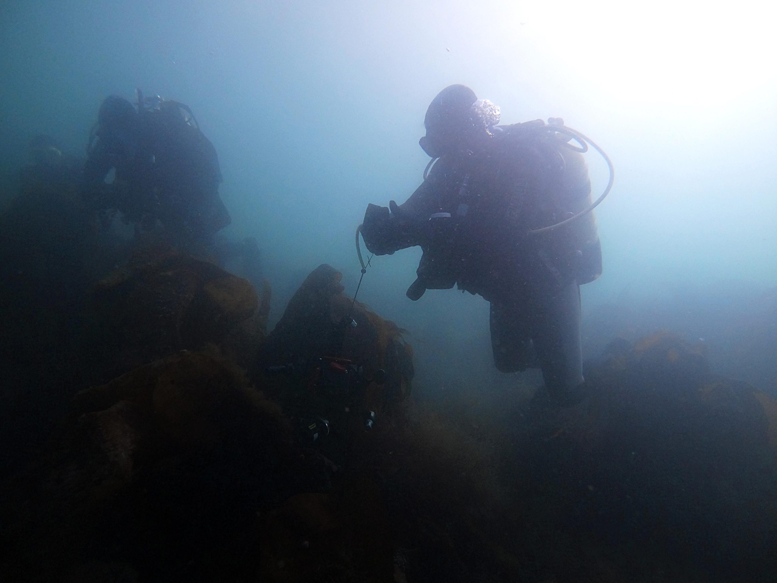
By car from Groomsport/Bangor, follow Warren Road past the Orlock Point entrance and park on the lay-by above the site at 54.665926, -5.571400. Access to the beach is via a steep path and over a small wall. Enter the water at the north end of the beach and follow the rocky shoreline in a NE direction amongst dense seaweed, and in a NW direction once outside the bay.
Facilities: Details of nearest facilities to dive site i.e. public car parking and toilets, slipways etc
The nearest public toilets are near Main Street, Groomsport.
Nearest tank filling: DV Diving, Newtownards.
Hazards: Anecdotal information on possible hazards at the site for divers and snorkellers
- The path down to the beach is very steep and requires navigating over a small wall (but generally fairly easy).
- Possible boat traffic (area has many lobster pots).
- Moderate lateral current outside the bay.
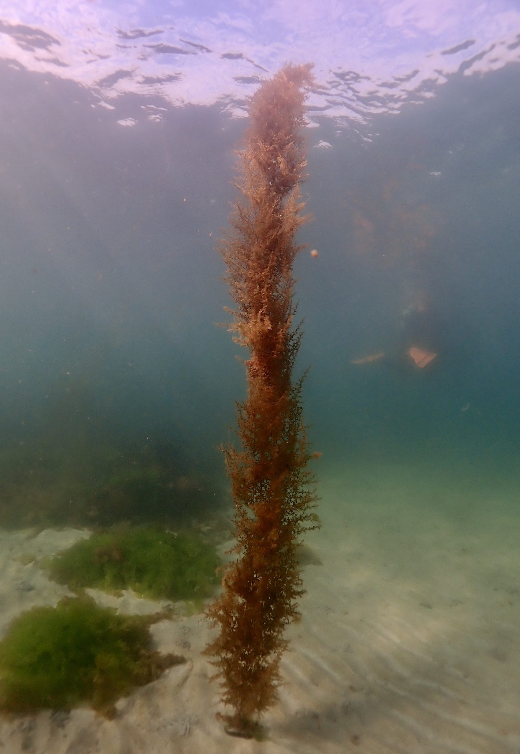
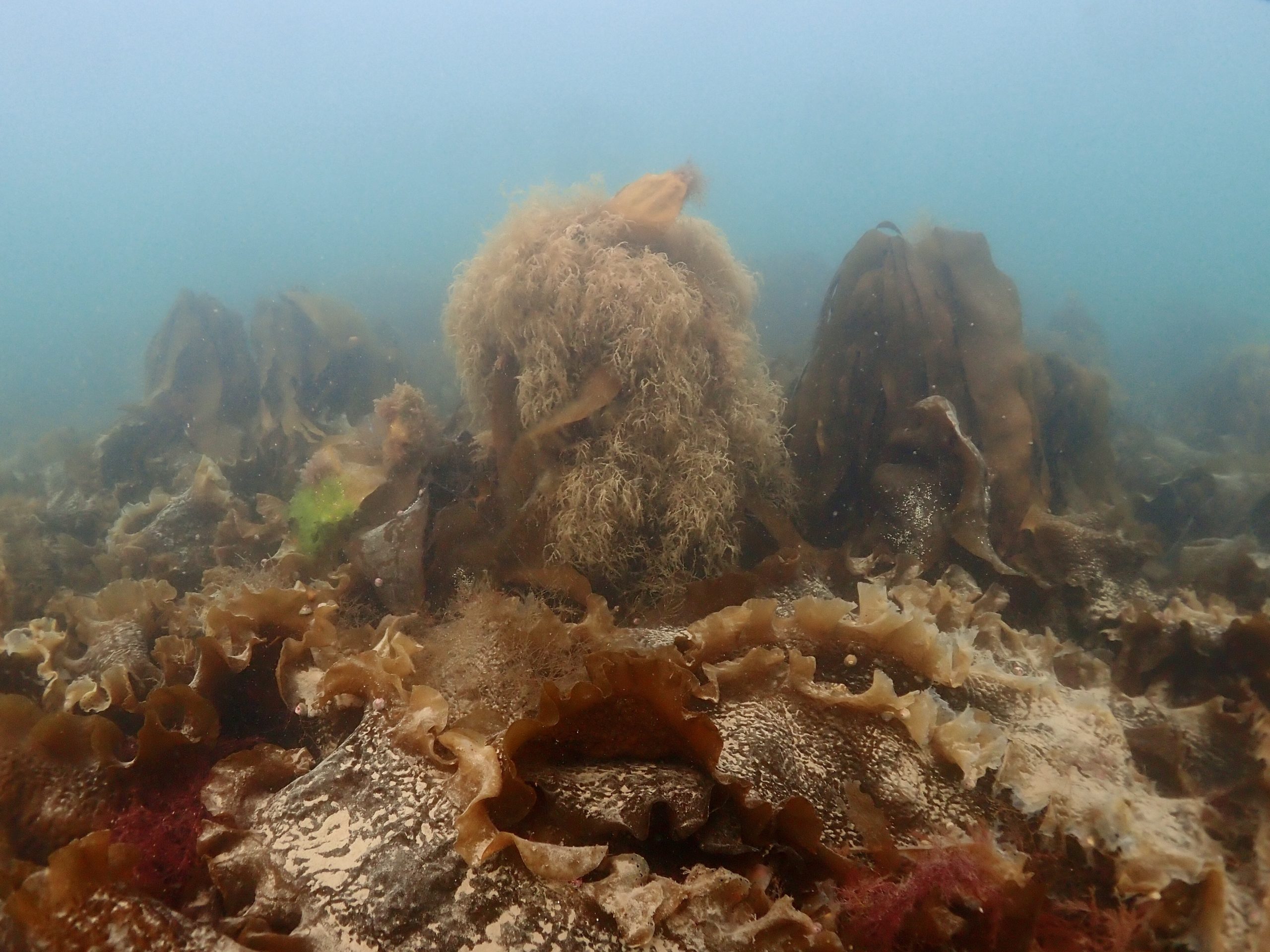
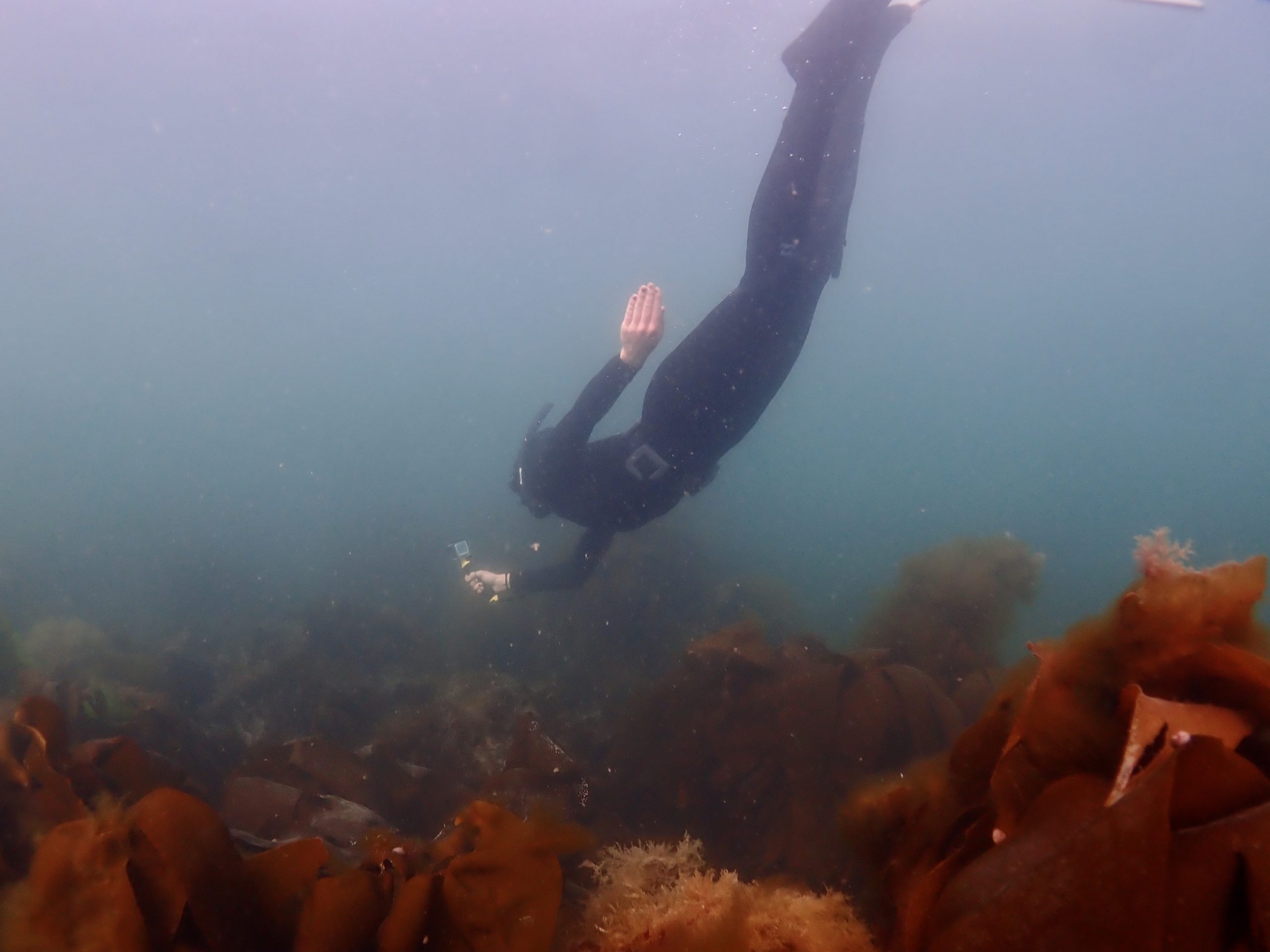
Description: A general description of the physical features of the dive site
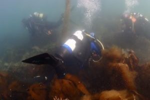
Sandy sheltered bay beneath a rocky shore with dense kelp and a moderate lateral current.
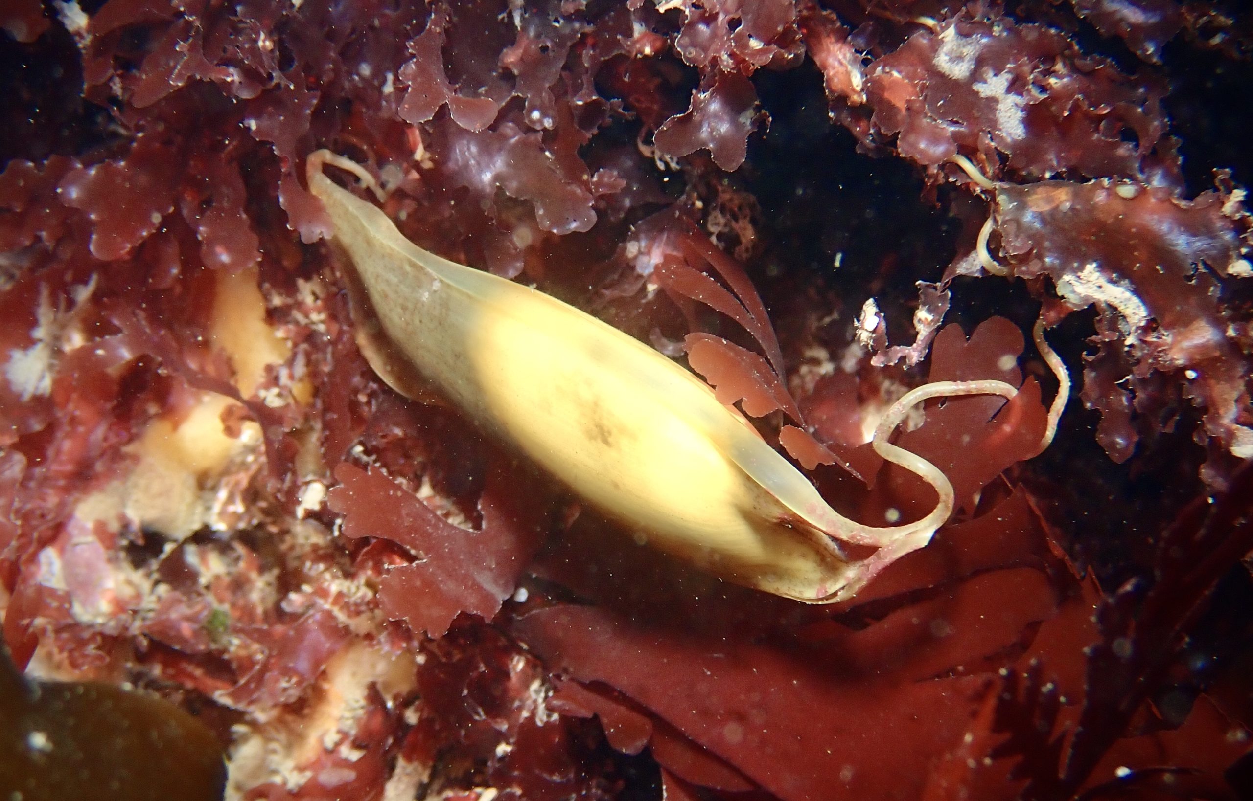
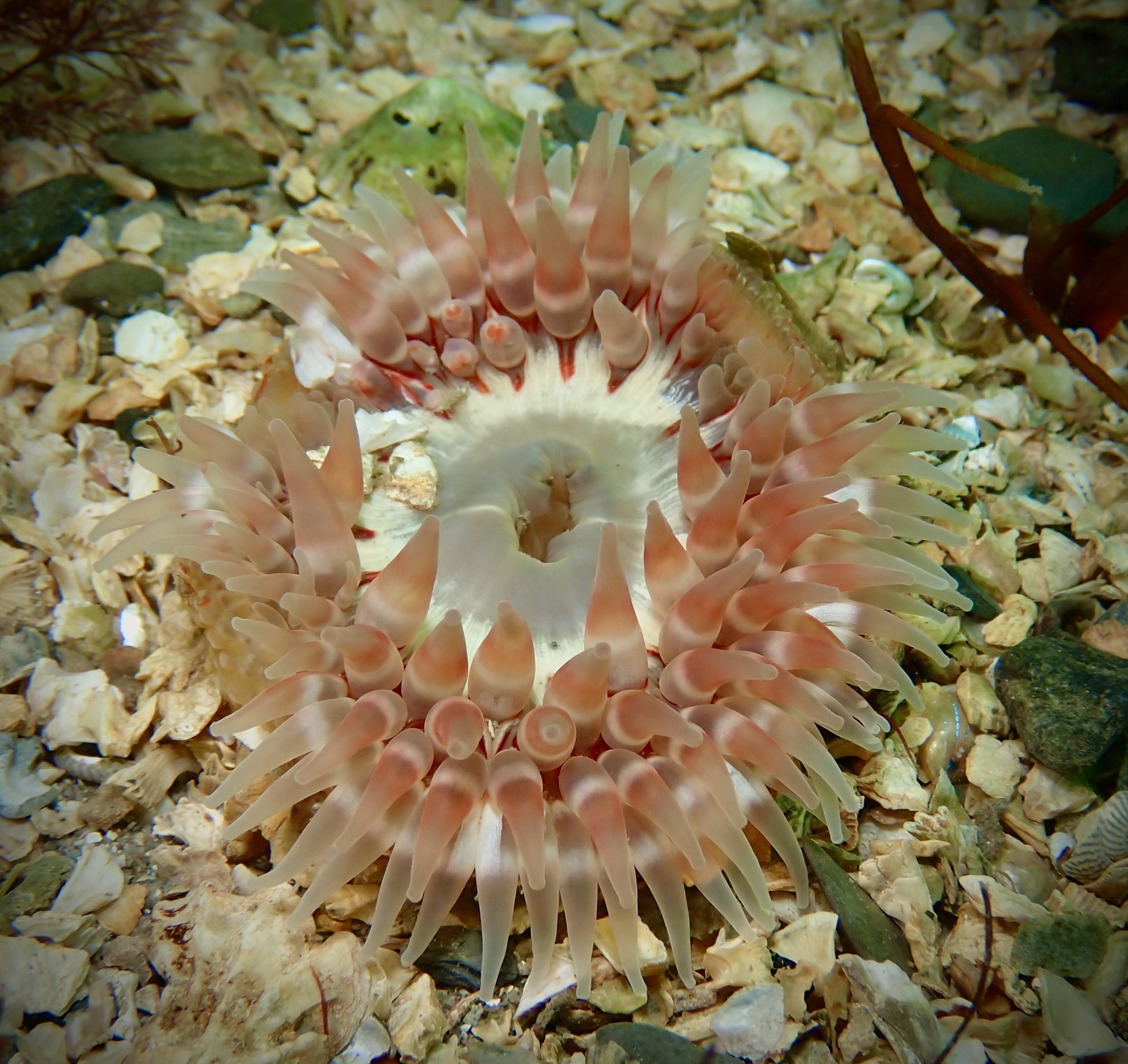
Biodiversity: A description of the species composition at the site. Species of interest are highlighted. Follow the links for more information about the species on the NBN Atlas Northern Ireland website
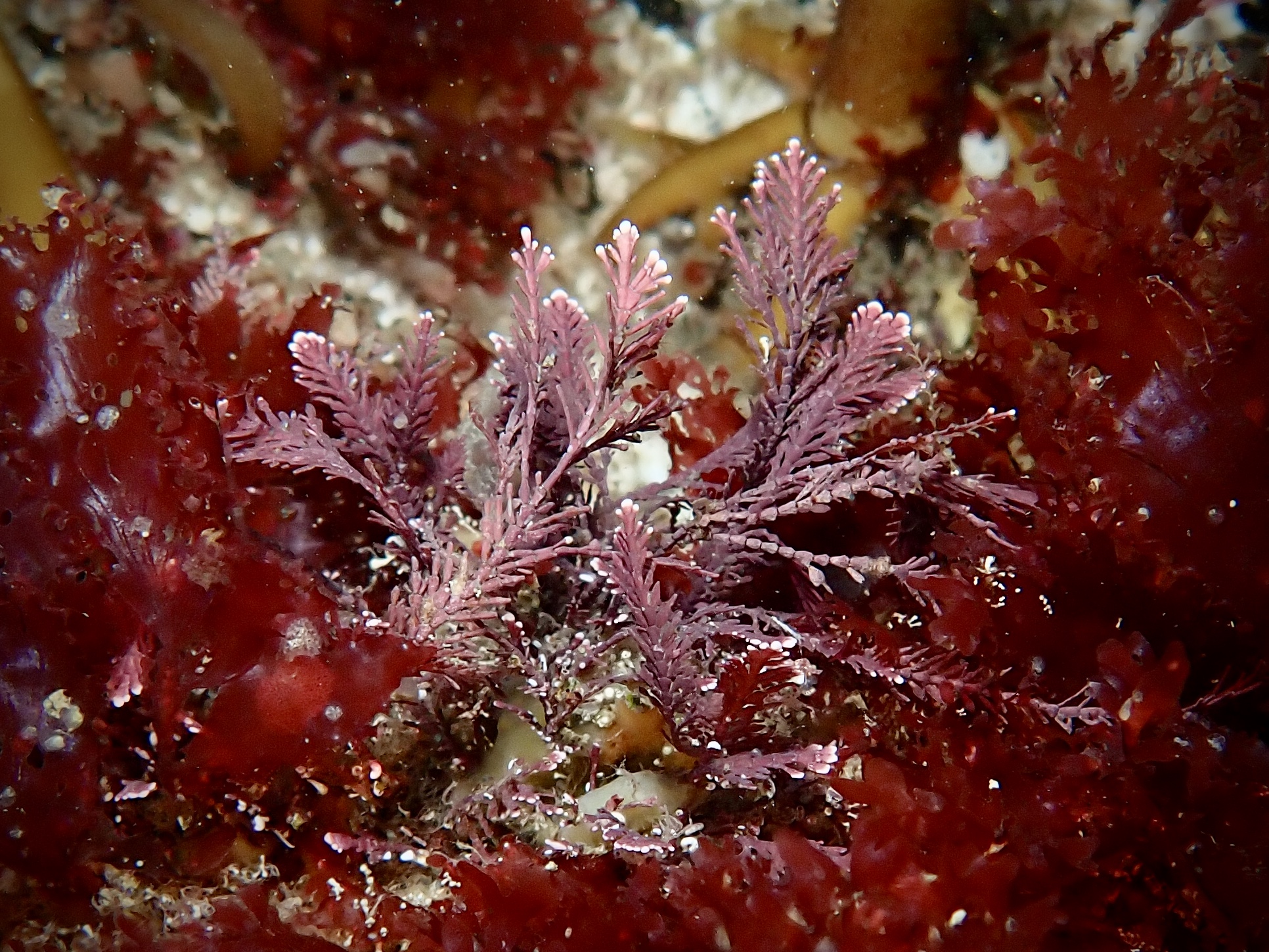
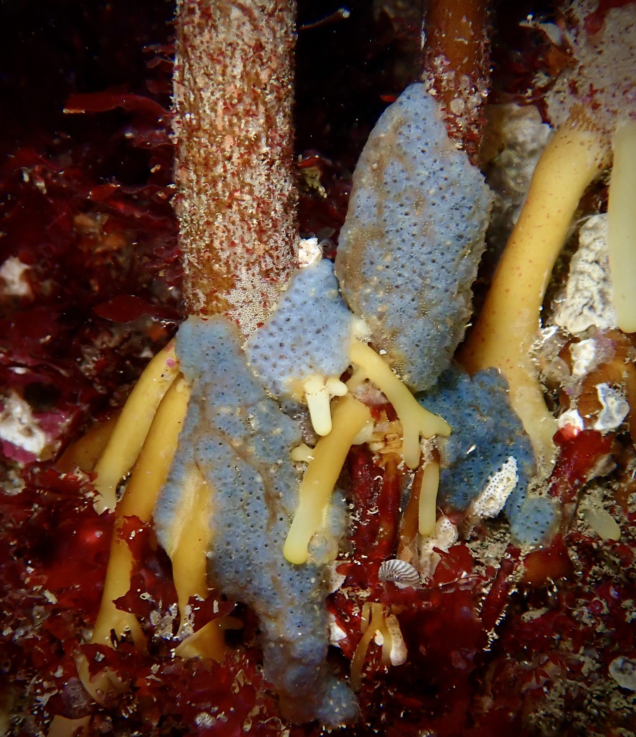
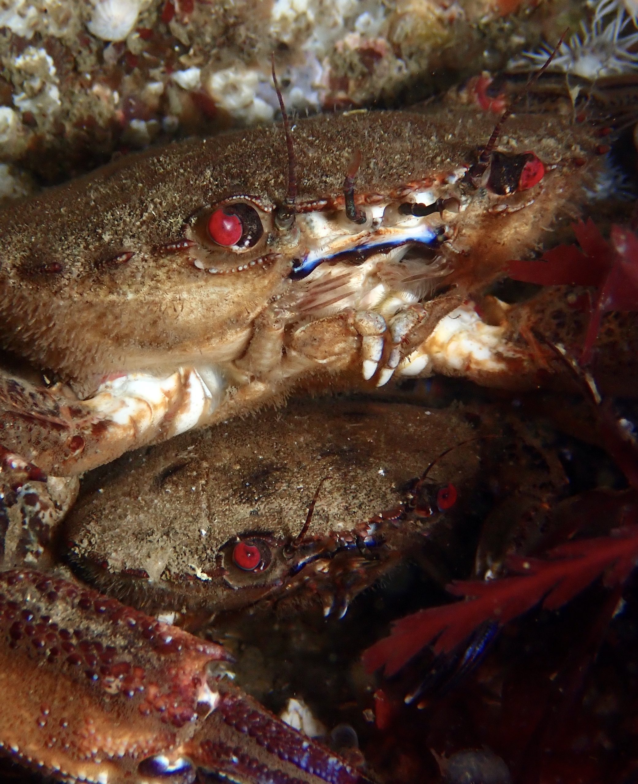
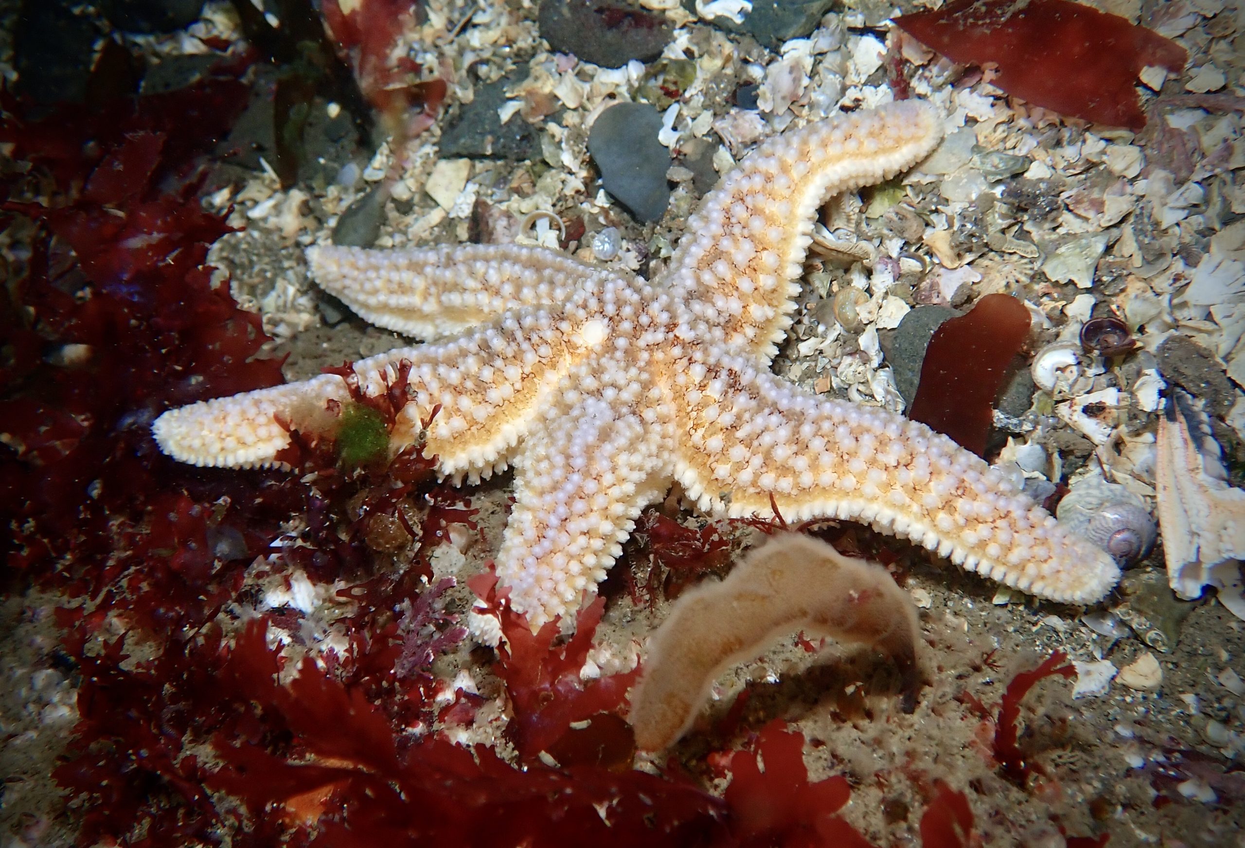
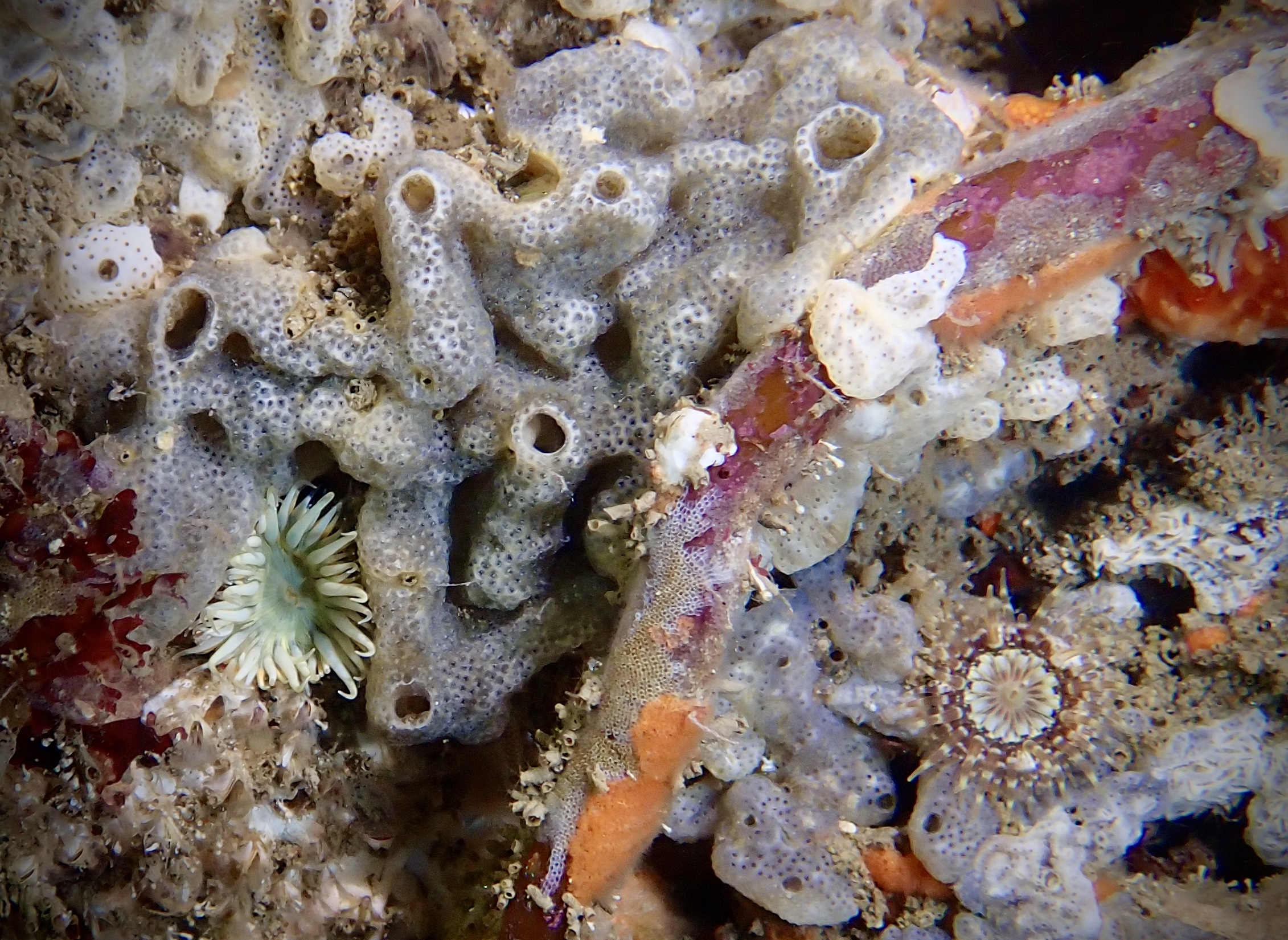
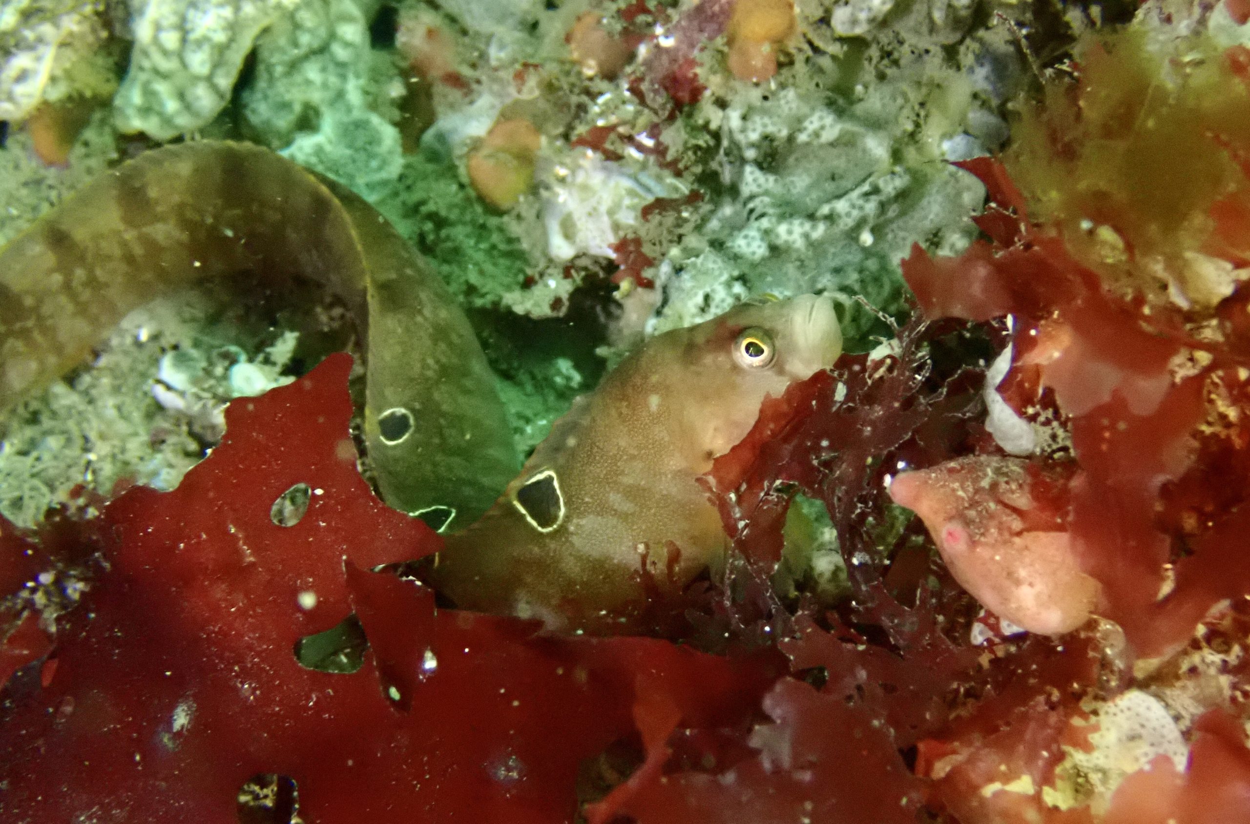
Kelp park supporting a diversity of starfish, anemones, crustaceans, sea squirts, and sponges.
View all species records from this site
A link to the dive site location on the NBN Atlas Northern Ireland website, showing all species records from within a 1km boundary of the site centroid. Any new species records from the site submitted to Seasearch, iRecord, CEDaR Online Recording or iNaturalist will appear hereLocal Charters: A link to the website for the nearest Dive Centre to the site. A map of all dive centres is provided under ‘Go Diving’
Environmental and Historical Designations: A list of any environmental or historical designations attributed to the site, or overlapping it. Follow the link for more information
More Information: Links to additional information found online for the dive site
Safety: Safety tips
- In an emergency call 999 or 112 and ask for the coastguard.
- Follow VHF radio Channel 16 (156.8 MHz), the international distress frequency.
- Find nearest defibrillator (AED) here
- Groomsport/Donaghadee Harbour Master: 028 9188 2377
Latitude, Longitude: The approximate XY coordinates for the dive site in Decimel Degrees (DD). These can be converted to DMS or DDM by following the link below
54.666444, -5.57058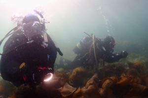


Leave a Comment
Dived here recently? Then let other divers know about this site from your experience!