All Dives Dive

The Grid

Ballyholme

Average score: 0

Site name: The Grid
Location: Descriptive location referring to nearest landfall i.e. town, village, harbour or island
Ballyholme
Type: Describes whether this dive site can be dived from the shore, from a boat, or both
Shore
Wreck: Dive sites which include a shipwreck (or part of a shipwreck) are labelled with a ‘Yes’
No
Min. dive depth (m): The approximate minimum depth of the dive given in metres
2
Max. dive depth (m): The approximate maximum depth of the dive given in metres
6.5

Max. seabed depth (m): The maximum depth of the seabed at the site taken from the intersect between the dive site point and the depth contour on an Admiralty Standard Nautical Chart
9

Diving experience (min level): The recommended minimum level of diving experience for a specific site, described as Novice (<50 dives in temperate/cold waters and minimum certification of PADI Open/Advanced Open Water, BSAC Ocean Diver or CMAS 1 star), Intermediate (50-100 dives in temperate/cold waters and minimum certification of PADI Rescue Dive, BSAC Sports Dive or CMAS 2 star) or Advanced (>250 dives in temperate/cold waters and minimum certification of PADI Divemaster, BSAC Dive Leader or CMAS 3 star
Novice

Optimal wind direction: The general wind direction which causes minimal exposure at the site, corresponding to 8 points of the compass: North (N), North East (NE), East (E, South East (SE), South (S), South West (SW), West, North West (NW)
SE/S/SW

Exposure: The approximate level of exposure to wind and wave action at the site on any given day, described as Sheltered (inshore sites surrounded by a form of shelter on all sides), Moderate (sites which are partially sheltered) or Exposed (sites with little to no shelter)
Sheltered

Tidal strength: Anecdotal description of tidal strength at the site
Weak

Marine Protected Area: A Yes or No highlighting whether or not the site occurs within a Marine Protected Area
No

Visibility: Anecdotal description of the typical underwater visibility at the site
Visibility ranges from 1-6 metres
Best time to dive: Anecdotal recommendation for the best time to dive the site for optimal underwater conditions. This typically relates to the stage of the tide
High Water slack (Belfast)
Getting There: Directions for getting to the site

Access is from Ballyholme Yacht Club slip. Access must be obtained from Ballyholme Yacht Club prior to dive and the cost to dive is £5 (Ballyholme Yacht Club tel: 02891271467). The site is approximately 70 metres out from the slip.

Facilities: Details of nearest facilities to dive site i.e. public car parking and toilets, slipways etc

Car parking is available at Ballyholme Yacht club, where there are also toilets. Alternatively car parking is available on the Seacliff Road just north of the yacht club.

Nearest tank filling is DV Diving, Newtownards.

Hazards: Anecdotal information on possible hazards at the site for divers and snorkellers

  • Boat traffic from Ballyholme Yacht Club and Bangor.
  • Can be affected by groundswell.
  • Visibility can be very poor during a NW wind.
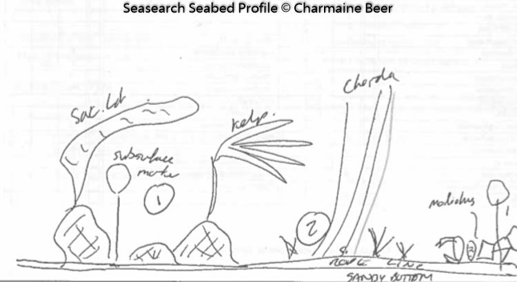
Description: A general description of the physical features of the dive site

The Grid, set up by the Ballyholme Dive Team in 2016, is marked by ropes and directional arrows, and covers ~700metres of seabed. This is a shallow dive on a relatively flat sandy bay with ripples, burrows and occasional boulders. This is a great site for trainees.

Biodiversity: A description of the species composition at the site. Species of interest are highlighted. Follow the links for more information about the species on the NBN Atlas Northern Ireland website

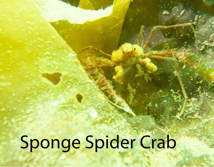
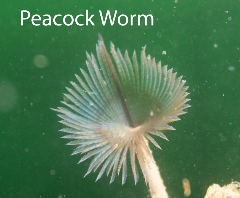
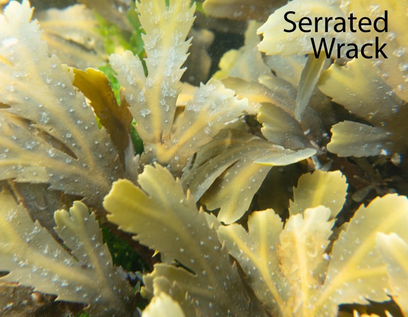
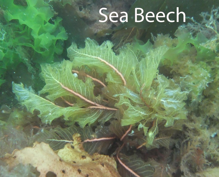
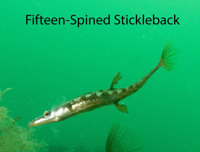
Typical species recorded on The Grid include crabs, bobtail squid Sepiola atlantica, flatfish, and a variety of seaweeds. The invasive Compass sea squirt Asterocarpa humilis has recently been recorded from this site.

View all species records from this site

A link to the dive site location on the NBN Atlas Northern Ireland website, showing all species records from within a 1km boundary of the site centroid. Any new species records from the site submitted to Seasearch, iRecord, CEDaR Online Recording or iNaturalist will appear here
Local Charters: A link to the website for the nearest Dive Centre to the site. A map of all dive centres is provided under ‘Go Diving’

DV Diving

Environmental and Historical Designations: A list of any environmental or historical designations attributed to the site, or overlapping it. Follow the link for more information

More Information: Links to additional information found online for the dive site

Ballyholme Yacht Club – Diving The Grid

Northern Ireland Marine MapViewer

Safety: Safety tips

  • In an emergency call 999 or 112 and ask for the coastguard.
  • Find nearest defibrillator (AED) here
  • Ballyholme Yacht Club: 028 9127 1467
Latitude, Longitude: The approximate XY coordinates for the dive site in Decimel Degrees (DD). These can be converted to DMS or DDM by following the link below
54.668668, -5.652078

Leave a Comment

Dived here recently? Then let other divers know about this site from your experience!

Leave a Reply

Your email address will not be published. Required fields are marked *

This site uses Akismet to reduce spam. Learn how your comment data is processed.

Join our Mailing List